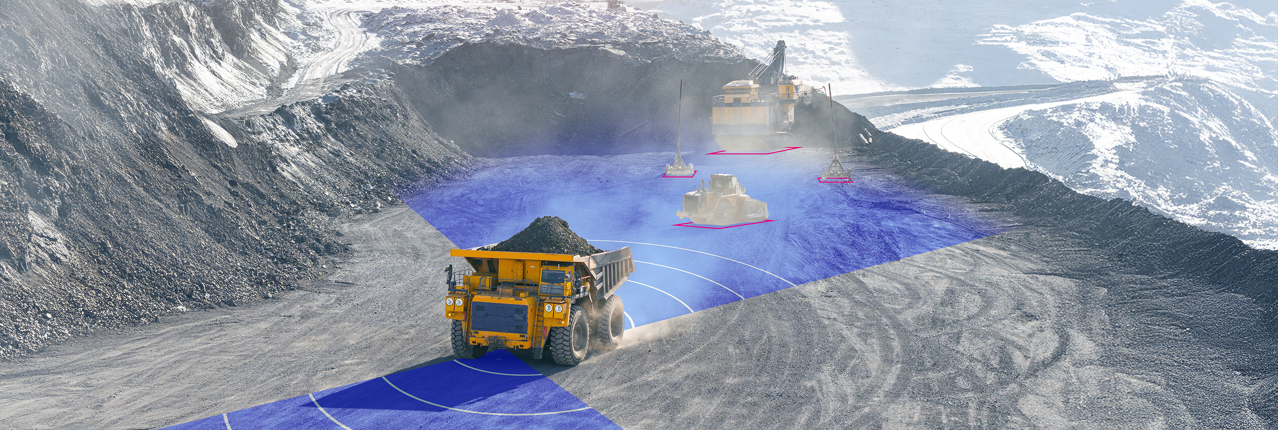
Dust is a routine operating condition for unmanned ground vehicles (UGVs). Across mining sites, construction zones, agricultural fields, and unpaved routes, airborne particles can obscure the view for extended periods. Smoke, fog, darkness, and other conditions introduce further challenges for UGV perception.
For UGVs that rely on cameras and lidar, these conditions can significantly degrade the information available to the autonomy stack. Yet the vehicle still needs to detect obstacles, understand the surrounding terrain, and determine where it can safely move. The autonomy stack still needs enough spatial detail to understand the terrain and identify a viable path, even when optical sensing is degraded.
For an autonomous ground vehicle, detecting an obstacle is only the beginning. The autonomy stack needs enough spatial information to understand the surrounding environment, identify free space, and determine a viable path forward.
Consider a UGV operating at a busy industrial site. Equipment and materials change position throughout the day, heavy machinery moves between work areas, and available routes can change with ongoing operations.
The vehicle must distinguish nearby obstacles from open space, including small or stationary hazards that may be difficult to separate from the ground around them. It must also account for terrain features such as holes and ditches, and maintain awareness of nearby objects and available clearance.
These requirements become especially demanding when visibility deteriorates. Knowing that an obstacle is present is of limited value if the vehicle no longer has sufficient information about the space around it to continue navigating.
Maintaining that level of environmental awareness becomes particularly challenging when the sensors themselves are affected by operating conditions.
Optical sensors provide the rich environmental detail needed for navigation, but persistent dust can limit the information available throughout an operation. Radar maintains detection performance independently of optical visibility, yet conventional automotive radar typically lacks the resolution to distinguish fine terrain features and closely spaced objects.
Ultra-high-resolution 4D imaging radar combines radar’s resilience in degraded visibility with the spatial detail needed for perception in exactly the conditions that limit optical sensors.
Arbe’s Gryphon Imaging Radar for Ground Autonomy is designed around this requirement. Built on Arbe’s 48-transmit, 48-receive radar architecture, it generates 2,304 virtual channels, providing the spatial resolution needed to distinguish closely spaced objects and detect stationary hazards without relying on target movement.
Fine range resolution preserves the close-in detail needed for precise maneuvering around obstacles, machinery, and other tight spaces. High dynamic range keeps smaller, weaker radar returns distinguishable even beside large, highly reflective vehicles and equipment.
Gryphon generates a dense 4D point cloud that the autonomy stack can use for free-space mapping, obstacle awareness, and navigation. Because radar sensing does not depend on optical visibility, Gryphon can continue supplying detailed environmental data through dust, darkness, and other conditions that degrade cameras and lidar.
This provides a basis for continued driving on radar alone when optical sensors are unavailable, depending on the vehicle’s autonomy architecture.
A clear picture of the surroundings is only part of what keeps a UGV navigating. The vehicle also needs an accurate understanding of its own position, often achieved via satellite. However, in underground mines, remote locations, and contested environments, GNSS may be obstructed, degraded, or unavailable.
Gryphon supports radar-based odometry and localization, including positioning against prior or georeferenced maps. Together with free-space and obstacle data, these outputs help the autonomy stack maintain spatial awareness and support navigation without relying exclusively on satellite positioning.
These capabilities come in a compact, solid-state radar system based on Arbe’s automotive-developed technology, designed for integration across unmanned and autonomous ground platforms.
For UGV developers, the ability to operate through dust, darkness, and other demanding conditions depends on the quality and continuity of the information available to the vehicle.
Gryphon provides detailed radar perception that remains available when optical sensing is compromised, together with spatial and positioning data that support navigation across unstructured environments.
That gives integrators another way to preserve the environmental understanding autonomous ground vehicles need to keep operating when conditions become difficult.